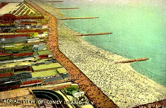
Coney Island Historical Maps
NOTE: Most maps will be eventually converted to 3/4 view aerial perspective as soon as I obtain enough aerial and ground photos to sketch the buildings and rides. Help is needed in obtaining views and accurate maps for different years. Additional click points with views will be added when additional views are supplied. To use these maps you will need a browser that offers image mapping - that means versions 2.0 or newer of Netscape or Internet Explorer.